


QUICK FACTS
Where is it? Hawaii, North Pacific Ocean
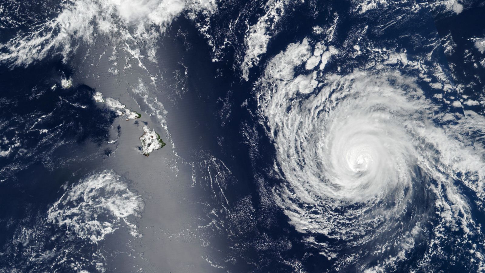
What’s in the photo? A sunglint covers Hawaii as a hurricane barrels toward the islands
Which satellite took the photo? Suomi NPP
When was it taken? Sept. 7, 2025
This striking satellite snap shows a powerful hurricane bearing down on Hawaii as a shimmering silver streak obscures the tropical islands from view.
Luckily, the hurricane weakened to a Category 2 storm before reaching Hawaii and diverted to pass mostly north of the islands, before finally fading away on Sept. 10, just off the coast of Honolulu, according to Zoom Earth. These changes, which were brought about after the hurricane hit a patch of cold water, meant that residents experienced some heavy rainfall and high winds but were otherwise unaffected.
The satellite photo was snapped Sept. 7, when Kiko was around 600 miles (965 kilometers) east of Hilo on Hawaii’s Big Island, according to NASA’s Earth Observatory. At this point, the cyclone was approximately 470 miles (750 km) across at its widest point.
You can just about make out the outlines of the cloud-covered Hawaiian Islands within the thick band of silver stretching across the left side of the image. This shimmering streak is the result of a phenomenon known as a sunglint.
This satellite imagery mosaic shows the trajectory of Hurricane Kiko, which ended up dissipating just north of Hawaii. The collage also highlights how frequently sunglints can affect satellite photos.
(Image credit: Screenshot via Zoom Earth)
Sunglints are visible only from space. A sunglint occurs when sunlight bounces off the surface of the ocean or another large body of water directly into the observer’s line of sight. (This is similar to how sunlight reflects off water during a sunset.)
The phenomenon gives water a metallic, mirror-like appearance, which can create stunning spectacles, such as reflected cloud murals and visually transformed rivers.
What’s more, sunglints can partially obscure satellite imagery, thus interfering with efforts to monitor the climate, according to NASA. On the other hand, sunglints can help researchers by revealing hidden oceanographic phenomena, such as subsurface currents and “internal waves.”
Researchers predict that, on average, hurricanes and other tropical storms will become more frequent and powerful in the coming decades as a result of human-caused climate change. In fact, there have already been signs of this happening in recent years, including storms such as Hurricane Melissa, which killed 95 people as it ripped through Cuba, Haiti, the Dominican Republic and Jamaica in October 2025.

A recent satellite photo captured a stunning scene of sediment swirling across the West Florida Shelf after an extreme cold snap that covered large parts of the eastern U.S. in snow.
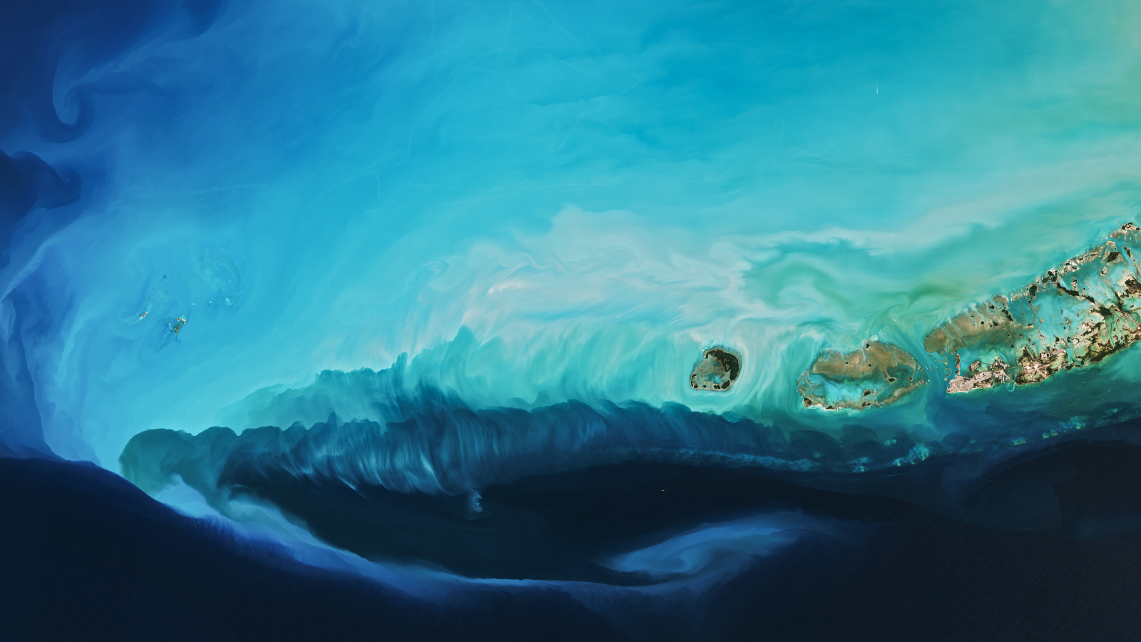
A 2016 astronaut shows a series of luminous, rippling sandbanks partly carved out by a coral reef and the subtle differences in the ocean’s surface caused by a steep, hidden ocean drop-off.
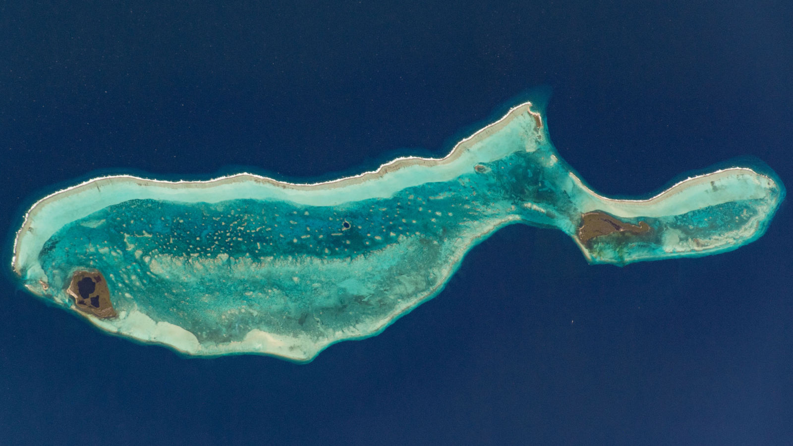
This 2020 astronaut photo shows the unusual cetacean-like shape of Belize’s Lighthouse Reef. It’s home to the famous Great Blue Hole, which doubles as the island’s “blowhole” when viewed from space.
TOPICS


